.svg)
Cooperation agreement between Ain Shams University and ESRI North Africa
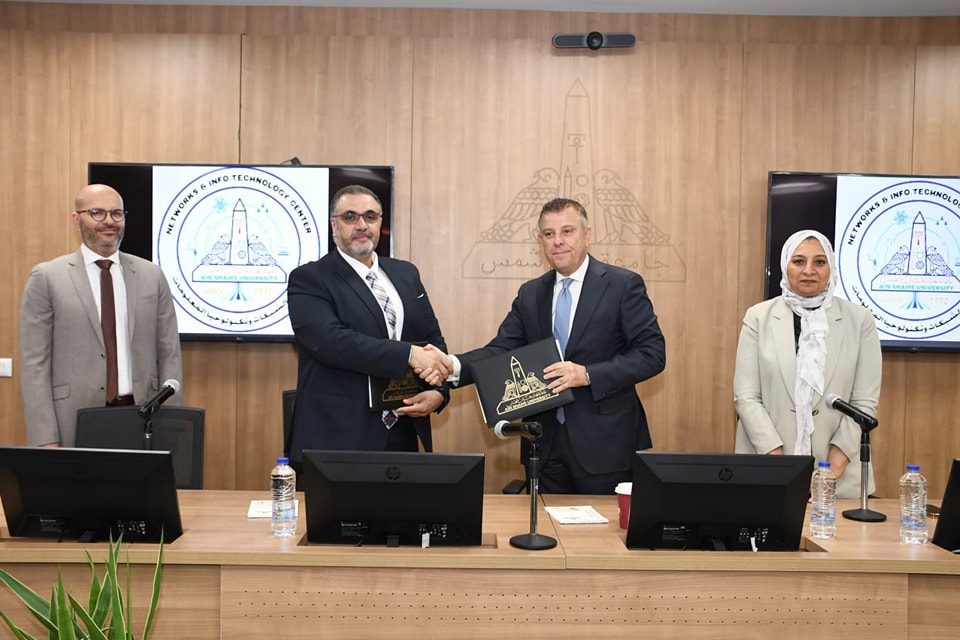
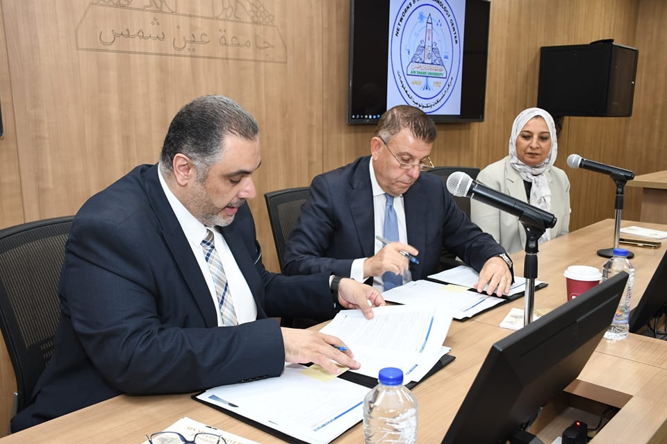
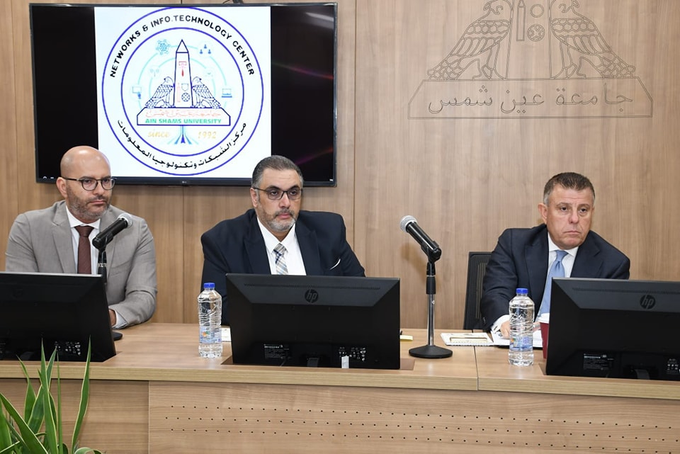
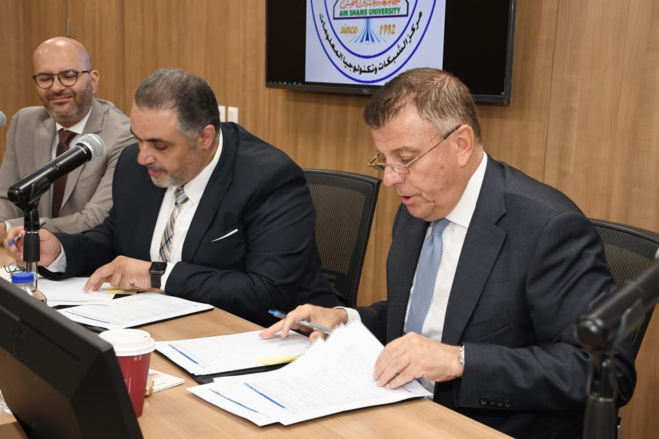
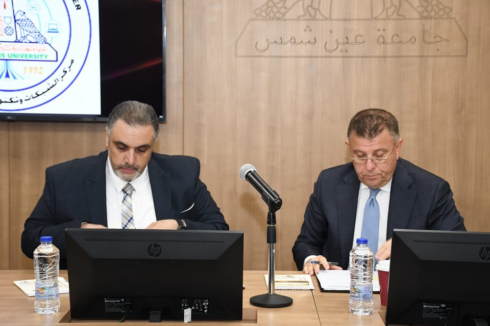
On Monday morning, corresponding to 7/24, Prof. Dr. Mahmoud El-Metini, President of Ain Shams University, and Eng. Hasim Hamida, Executive Director of ESRI North Africa, signed a cooperation agreement regarding training services for universities to prepare cadres and keep pace with development. ESRI is one of the largest international companies specialized in the field of geographic information systems.
 |
 |
 |
||
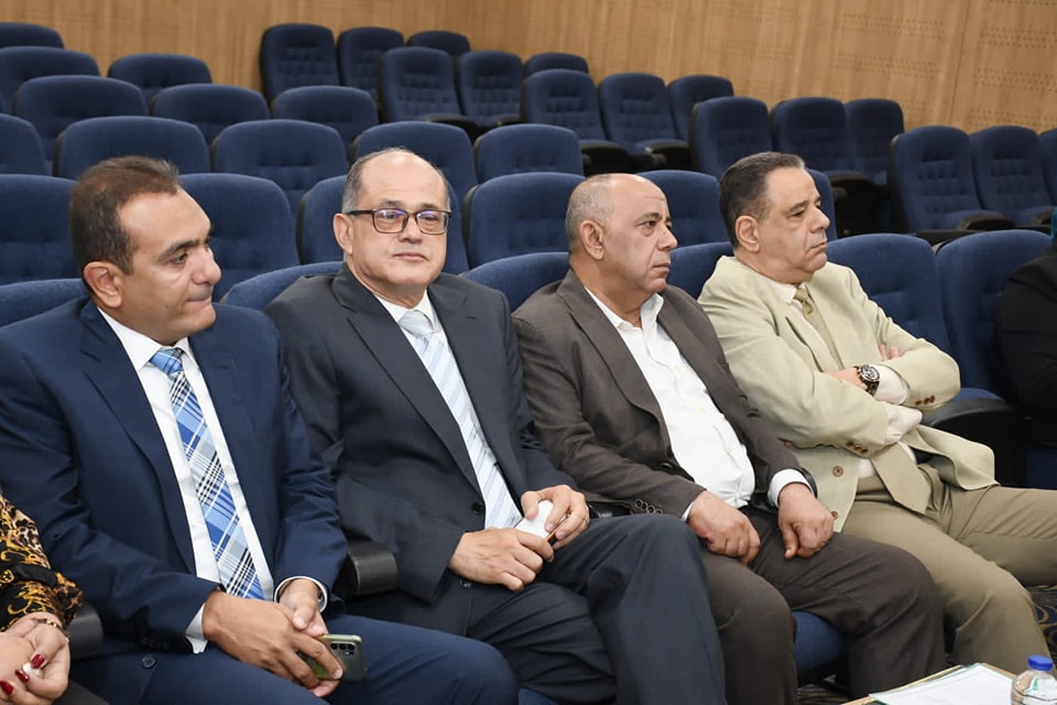
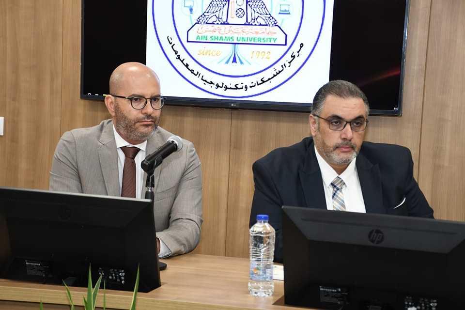
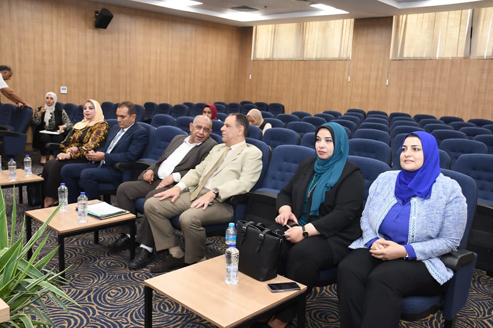
The signing ceremony of the agreement was witnessed by Prof. Ayman Saleh, Vice President for Postgraduate Studies and Research, Prof. Ghada Farouk, Vice President for Community Service and Environmental Development, Prof. Omar Al-Husseini, Dean of the Faculty of Engineering, Prof. Nagwa Badr, Dean of the Faculty of Computer and Information Sciences, Prof. Ahmed Galal, Dean of the Faculty of Agriculture, Prof. Islam Hegazy, Director of the University Information Network, Eng. Ahmed Makram, Director of Technology Sectors at ESRI Company, and Engineer Lamia Ghadiri, Director of the Company's Training Department.
 |
 |
 |
||
Prof. Mahmoud El-Meteini said that the agreement comes in the interest of raising the level of performance of university students and following up everything new in order to spread awareness of modern systems based on computers in light of the rapid development in all fields of technology, especially informatics and the Internet.
 |
 |
|||
He called on His Excellency to join the umbrella of this cooperation, the diploma signed between the university and the Authority for Remote Sensing and Geographic Information Systems, as well as the departments related to geographic information systems.
Prof. Ghada Farouk stated that a group of meetings had previously been signed to find out the needs of the different faculties, and accordingly useful programs were identified and training plans developed on the modern programs provided by the company, pointing out that the university faculties own laboratories and training halls equipped with the latest equipment as well as all the requirements to hold training courses for students and faculty members to increase knowledge and experience that help achieve the targeted results for both parties.
For his part, Engineer Hasim Hamida confirmed that ESRI has various forms of cooperation with Ain Shams University, pointing out that the company's activity extends to a number of Egyptian universities, and that geographic information systems are present in many fields.
It is noteworthy that within the framework of the agreement, ESRI is committed to providing free remote workshops to present everything new in the field of geographic information systems to students of Ain Shams University in the Arab Republic of Egypt.
As well as spreading awareness of the development of the uses of geographic information systems for university students by holding free remote induction sessions, providing customized training programs and capacity building in the field of geographic information systems and remote sensing to work on raising the level of university students and employees and preparing them for the labor market by providing them with the required technical skills, and offering free advanced training programs to build the capacity of trainers from faculty members, assistant teachers and teaching assistants (ToT) at the university in modern applications and software of ESRI, and the company provides qualified trainers and specialists in the field of each course. As well as providing internal summer training for university students at the university's campus to provide them with various geographic information systems skills to help them start their careers, download Ain Shams University computers with ESRI programs used before starting any training course.
The agreement also guarantees the provision of certificates approved by the company to the trainees after the end of each course, participation in the advisory boards formed in the faculties and related programs, workshops related to the mechanisms for developing programs and related courses, and participation in research activities and projects related to geographic information systems and remote sensing, as well as participation in activities that support the university's transformation into the fourth generation, Digital twin, Facility Management.


